Marys Creek Lake Number Nine

During the course of his leisure time, of which these days we seem to have less and less, and which we ought to find time for, as if scheduling time is the appropriate language for such an endeavor, a man ought to become more and more acquainted with the geographical intracacies of his surroundings with an intimacy that only comes from walking the land, studying its inhabitants, seeking to understand its flora, and attempting an overall heightened engagement of his sense of awareness and observation, and preferably undergoing such an endeavor on a lazy sunny Sunday afternoon.  So that is just what I set out to do.  I've had it in my mind for some time now that a walk circumscribing the lakes and along the waterways of my backyard, so to speak, was in order.

With Marys Creek Lake Number Four and Marys Creek Lake Number Five under my belt, on this trip I took off with camera in tow for an amble along Marys Creek Lake Number Nine. 


As typical of footpaths that start near an access point that has a drivable path nearby, I was able to find a faint trail near the lake, but that petered out in less than 25 yards.  I prefer the open forested landscape anyways, and willingly created my own trail of discovery.


Not long and I came across evidence of the human touch, but the likes of which was done more tastefully than many I have encountered on such strolls:


At 100 yards out near the middle of a crystal blue water, I was able to capture in still-life the swift lake-traversing passage of some of the landscape's seasonal caretakers.  I couldn't help but wonder where these geese had flown from just a month earlier, in search of such a warm climatic region as this, and it was fascinating to think that of all the possibilities under their sky-soaring wings that they chose Marys Creek Lake Number Nine as their temprorary home; probabilistically speaking, it was mind-boggling to think that in some lake, somewhere out there, similar geese were calling another place home, and that in some lake, somewhere out there, similar geese were calling another place home, and that....  Oh the stories that they could tell of open country - perhaps even arctic tundra with its barren horizon, or lichen-covered boreal forests and their deep dark secrets, or grasslands pocked by endless marshes, or crooked creeks spilling into brackish inlets, or of high alpine ponds fed by glacial run-off - all untouched by the human hand, and descriptive of a life expressed most richly in the flutter from landscape to landscape, and of a subsistence enhanced by the fruit of the land, a providential impression stamped upon nature's dynamic painting.


I continued on with a keen observance of the uncharacteristic green-ness that this year's mild winter has afforded.  Grassy shorelines, once dormant from winter's touch, had prematurely started the transformation into a prolific infancy of pre-spring grassy seedlings, and I imagined a blanketed picnic afternoon, flying frisbees, and rolly-polly, pell-mell puppies tumbling down the hill, curious about what the water entails.  As I turned from this spot, such imagery still lingering in my mind, I crossed a grassy field which led me to climb a water carved embankment, and began thinking of where my next lazy Sunday stroll would take me.

Third Snow of the Season

It wasn't much and it didn't stick...but it did snow!

My rectum will never be the same

30 mile loop cycling ride outta Pumpkintown, SC  (that's right - pumpkintown!)

Complete with 17% grade, the most beautiful views of Table Rock and Caesar's head the upstate has to offer, and one saddle sore cowboy!

Gregory Bald, Rocky Top, Thunderhead, Cades Cove, and more

I never realized how beautiful the valley holding Townsend, TN in was until I drove through there.  Somehow I had missed that all those years of growing up in the western Carolinas.  Then I realized how others thought it was so beautiful as well:  a cool $10 million for 400 acres!  Driving into Cades Cove was another experience of how beautiful others thought it was.  I guess I had only been there during off season.  It took us probably an hour to drive the 10 miles or so into the visitor center.  That's okay though, because it was sunny and we wer'nt in a hurry.  After registering for the backcountry, and with odd looks from the rangers, coupled with remarks of "glad its you and not me - its supposed to be 20 degrees tonight up there", we were off.  I thought the rangers would have a different outlook as compared to the tourists who drive in and drive out, some never even leaving their car and 95% of them only leaving the car to head inside to purchase a Smokies postcard - but I guess I had the wrong impression of America's backcountry gatekeepers.  Maybe they ain't so rugged - at least some of them.

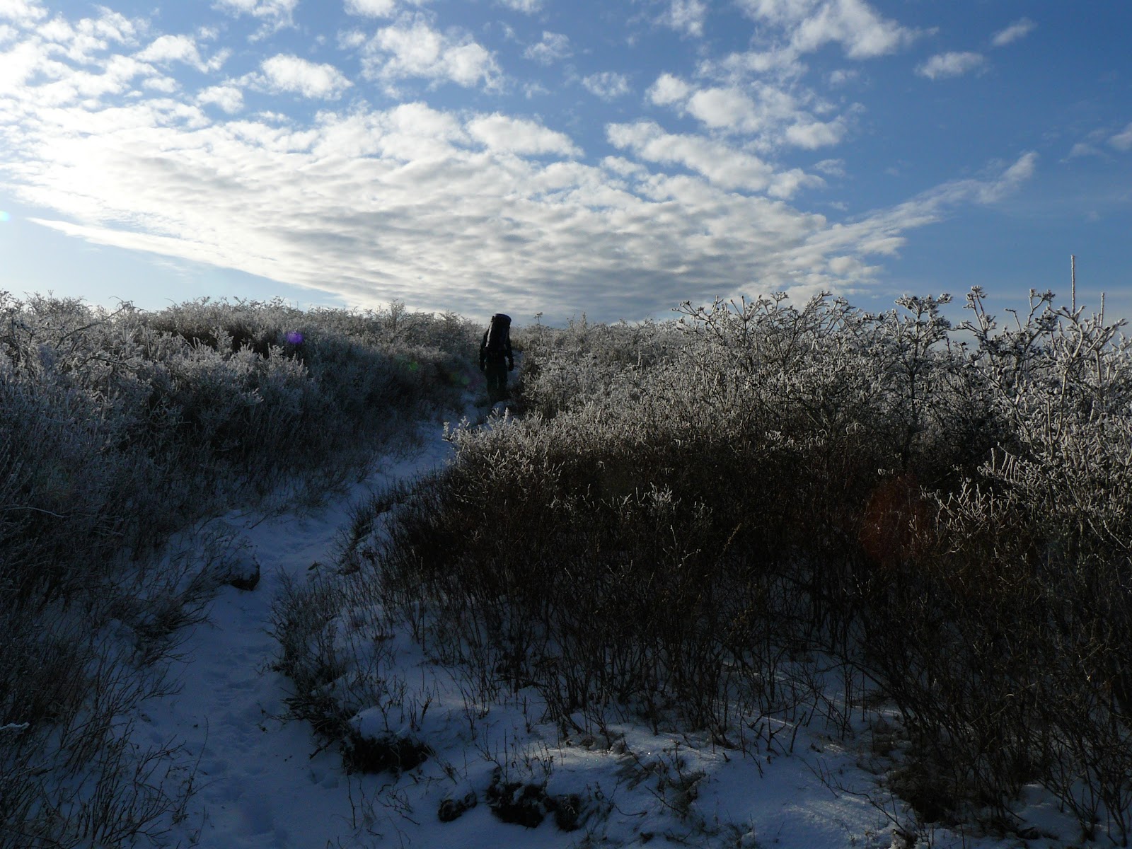
We hit the trail and began ascending right away, but it was a gradual ascent that we took our time with.  I'm of the mind that some things can't be rushed, like a fine mountain climb headed for the frost-encrusted caps of mountain tops.  We stopped for lunch number 2 and were afforded this terrible view.  The weather was just horrible.  :)


We continued to gain altitude and realized that the rain that came in valleys two days before was actually snow up in them hills.  A few more inches would have afforded some nice cross-coutnry skiing.

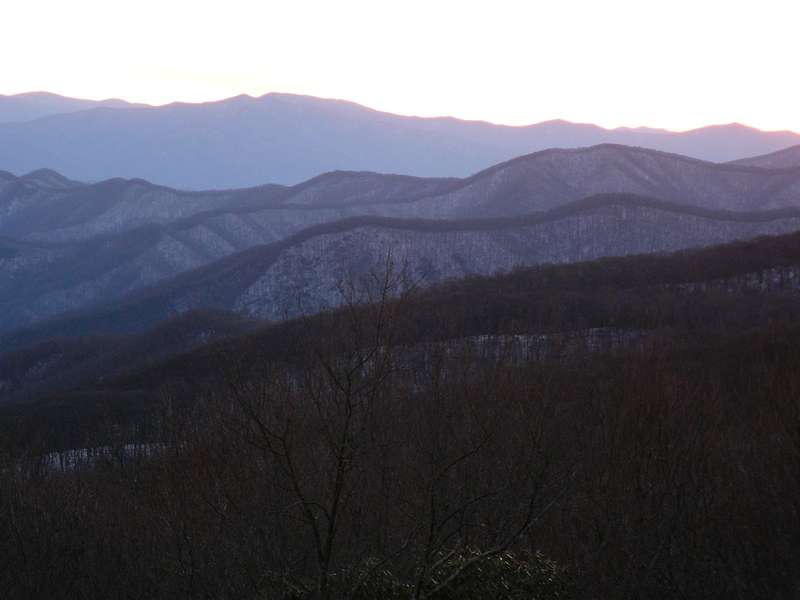
On the way up, we were witness to more of the terrible views.

Once we reached the top of Gregory Bald, we knew that we had to spend some time there - 360 degree views with hardly a cloud in the sky.  Instead of pushing on, we decided to call the sustained winds our friends and set up camp.  We made quick work of it, were speechless because of the views, and then headed back down the mountain to check out a nearby campsite. Two college-aged guys who were out for a few days had just arrived.  One was studying environmental science and when asked what he wanted to do with his life, he responded "live outside".  I liked his way of thinkin.

We rushed back up the mountain for the sunset, which rivaled any I've ever seen.  The night was mostly spent trying to stay warm while cooking.  That night we retired early snug in our bags despite 20 degree temperatures with whipping winds.


Up at first light the next morning, it was time to get moving - and fast.  Any woodsman knows that warmth comes with moving, and I took off down the trail after a hot meal wearing everything I had.  I had no problem stopping later on to discard some clothing, but right then, I'd hike in it all, thank you.

Once we intersected the AT, we followed it northwards, past Mollies Ridge (lunch number 1), past Russell Field (lunch number 2), and into Spence Field.  From there, we watered up and set up camp at the base of Rocky Top.  The views not 25 yards from our camp were, again, just horrible.


To round out the day, we decided a climb up to Rocky Top and Thunderhead were in order.  What's another few more miles when there is daylight to kill?  Can't come all that way and not visit the famous rocky crag.  We climbed up, were again rendered speechless, and hung out for a little while contemplating the deeper things in life - like the name of that peak, how mountains outdo beaches, and the self-timer function on the camera.

The other two stooges headed back to camp, but I headed in the opposite direction.  I wasn't done just yet.  Like a fresh breath of air, I needed more of this.  I contemplated heading onwards to Katahdin one more time.  But without the 4 months free, I stayed til about sunset and relunctantly slumbered back into camp afterwards.


The next morning we crossed a small spring along the trail.  That trickle of a spring, like a snowball on a mission, picked up more and more steam until spilling itself over boulders and moss-shrouded creek bottoms, becoming the magnificently loud tumbling Anthony Creek.  We followed it back down, down, down the mountain, hitched a ride several miles back to the truck, and sped off to leave the Smokies for our next adventure.

This time, though, I vowed I'd return a little sooner.

Sun up til sun down

Spent sun up til sun down workin like a dog.  Actually I worked in the dark a bit, and worked harder than a dog - my two simply laid in the sunshine all day watching me.

It was 55 degrees in the house when I got up.  I love it.  It was 19 degrees outside after I ate breakfast and headed out around 7AM.  I like it when I can enjoy breakfast on the weekends and not feel rushed.  I immediately started chopping wood.  It warmed up to 28 around 10AM and I had to take my coat off.  I laughed out loud when I realized I was working in 28 degree weather in a t-shirt, but I wasn't a bit cold.  A book I just read about the Alaskan bush describes how the body gets acclimated to temperature so easily.  The author lived out in the Interior for a season and had regular temperatures of -60 degrees without the windchill.  He got so use to that that he said when it approached -10 degrees as long as he was working all he wore was a long-sleeve thermal top.  He could just be outside without working in +10 degrees with only this on.  Amazing.  I don't think it ever got above 40 today here - a far cry from -60.  In the heat of the day at noon the christmas station I was listening to said it was 37 - a perfect winter day - not too cold - not too hot - perfect for working outside.

Got a lot done today:
- chopped a face cord of wood
- fell and sawed up a 26" diameter dead pine that I was afraid was going to land on my shed
- finally got around to sawing some stumps down to ground level
- changed the oil and performed winter maintenance on the lawn mower
- finally got around to putting the doors back on my workbench
- built a rock wall around a bed (approx 50 linear feet)
- changed the oil in the truck
- changed the oil in the car

Now its time to go sip hot chocolate by the fire!

Alabama Pinhoti Trail

It's been a while since we have hiked the Pinhoti, so I was itching to head back for a 5 day trip.  I had hiked a majority of the Woods Trails mileage on the Alabama Pinhoti, all of it hiked on the southern half from Sylacauga northwards. 

http://www.pinhotitrailalliance.org/sitemap.html

Trip Statistics
Miles hiked:  45 (? - who cares)
Number of people seen on the trail:  0
Number of hunters seen off the trail (campgrounds, etc):  lots
Number of times shots were heard:  at least a dozen
% of the AL Pinhoti now complete:  85% (? - who cares)
Having this many days to hike:  priceless

Trip Overview
On this trip, I hiked between Morgan Lake and Burns Trailhead, and loved every minute of it.  The weather was absolutely perfect for hiking - sunny and around 60 for daytime highs and starry and clear and right at freezing for nighttime lows.

I could not believe the difference between the southern and northern portions of the AL Pinhoti.  The southern half was fairly decent hiking, but nothing spectacular, although the ridgeline hiking heading up to Cheaha was nice.  The northern sections we hiked on this trip were amazing - certainly well described as an extension of the Appalachians.  I could see why some have pushed so hard for the AMT starting from Flagg Mountain, AL .  I hope to be able to start the GA Pinhoti next year and claim that trail on my life list one day.  It was neat to be on a trail that connects the southernmost point of the US to Newfoundland via the ECT. 
(The Pinhoti is now 338 miles long, with approximately 170 of those miles being in AL.)

Many microcosms of micro-ecosystems were present on these sections.  We would hike in sun-baked Alabama long-leaf pines along the ridgeline, dip into the moist and dew and moss encrusted boulder strewn creekbed gorges of valleys lined with mountain laurel, and then follow hardwoods around mountain traverses, all within 30 minutes.  Certain sections of the trail were relatively flat, easy bottomland walking along beautiful wide flowing creeks with water as clear as anywhere I have seen in the lower 48, while at other times we were huffing and puffing up PUDs as if on the Appalachian Trail.

Trip Report
When I arrived Wednesday night, it was dark, and so I just got to hang out and enjoy finishing up my latest book about living in the bush in Alaska.  We ran into a few problems getting to our TH since we needed to take Forest Service roads, some of which were closed due to the building of new bridges.  This took some time to figure a way around them, which we never really did, so we ended up sleeping in the back of the truck that night.

Looking up at the stars that night was surreal.  The sky was as clear as it could be, and you could see every constellation known to the autumnal sky.  Unfortunately, the camera got left in PA on a trip just a few weeks ago so I was not able to capture any images.  This was a bummer since so many beautiful things could have been memorialized into my mind. 

Thursday morning we decided to start at Pine Glen campground, hike past Highrock Lake, past Lower Shoal Creek valley (gorgeous!) and into the Alabama Pines for 12 miles on the day.  Our campsite at Birds in the Pines sat atop a ridgetop knoll and faced due west, so we got a spectular viewing of the show that night entitled "Crimson sunset over the southern appalachians".  Or maybe it was "Auburn sunset over the southern appalachians."  I'm not really sure what the title, and we could not have asked the one hunter we saw that morning because he was equally confused.  He had a BAMA license plate, but was wearing an Auburn jacket.  Go figure.

Speaking of hunters, it was rifle season through a 15-mile section that traversed the Choccolocco WMA (say that five times fast).  We thought we would have problems with hunters, so we were decked out in blaze orange.  Turns out we saw one hunter, who wasnt even on the trail, the whole time.  Don't get me wrong - we saw plenty of hunters at Coleman Lake campground, but that is pretty much where they stayed - in campgrounds and less than a half mile from a FS road.  Typical lazy hunters.  I would venture to say I am more cognizant of my surroundings in the woods than they are - 95% of the time I see them before they ever see me, and 75% of the time I am able to sneak by without them ever seeing me.  Of course I do have a lot of practice on this - I hike every year in season in PA, which has the highest number of hunters per capita than any US state (and probably in the world for that matter).

Friday we awoke and knew we had several road crossings to deal with:  US 78, I-20, US 281, and US 431.  Unfortunately, despite being several miles from the tracks, the nearby train kept us up the prior night.  Because of this and the road crossings, we figured this section would not be terribly scenic.  Boy were we wrong.  The section crossing over these roads was scenic, and within just a mile or so you felt like you were back in the middle of nowhere, and could not hear the traffic (of course 281 and 431 only average about one car an hour anyways).  When we crossed 281, we entered a 400+ acre area that had been demolished by 2008 tornados.  The destruction was unbelievable, but it was also amazing to see just how fast the forest was starting to regenerate itself.  The cleared area also gave us excellent 360-degree views for at least a half mile, which was nice.  Friday night we humped it 17 miles back to our truck and then flip flopped north to spend the night at Coleman Lake campground.

The next morning we got up and hiked south once again, passing by Shoal Creek Church, the oldest and last standing log hewn church in AL, which dates back to the early 1800s.   This are still a handful of worship services there each year.  We passed a shelter, and apparently just missed a AL Pinhoti YoYo hiker.  Would have been neat to talk with him.  We walked through more diverse trailbed, past Sweetwater Lake (gorgeous!) and followed Shoal Creek into Pine Glen campground.  Just before the campground, I came within inches of stepping on a Garter Snake (?) sunbathing in the middle of the trail.  At the campground several construction workers were putting in the bridge.  One particular self-proclaimed "fat lazy truck driver who would rather drink beer and eat honeybuns than walk like we were doing" commented that he admired our tenacity but also "had it figured out:  only people with money can afford to walk and not work."  Carpe hikem. 


(The only photo we got - taken with a phone.)

We then flipped north again to Burns TH (this flip flopping, while it sounds like a pain, was really no big deal, and was almost necessary due to the bridges being out), where Pops left me to head home due to obligations the next day.  I continued on for 5 more miles, stopping to have a second lunch at the dam at Choccolocco Water Reservoir.  I sat there and took in the sunshine and alluring remoteness of it all, despite being only 1.5 miles from a county road.  I daydreamed about where on the lake I would put my log cabin.  I stopped in to sign the register at the second (of only 4) shelters along the trail, and then headed up the mountains, switching back and forth above the lake.  I then descended sharply, followed a creek to a beautiful campspot where 3 creeks joined in a melodious choral ensemble, and bedded down after 13 miles on some of the softest pine needles AL had to offer.

The next morning I got up at first light, putzed around camp not wanting to leave, and headed off into the waking day, enshrouded by a blue mist that beckoned me back to the AL hills.  A few hours later I was back at work.

28 November 2011

First snow of the season!  Yay!  Came early for us Southerners this year.  It was a nasty wet one and didn't stick but a dusting on grassy areas, but it did snow big fat wet flakes for almost 12 hours!

Wolf River Wildlife Area

The Wolf River Wildlife Area has over 2,000 acres of woods and wetlands along both sides of the Wolf River, including the 5-mile Wolf River Environmental Restoration Greenway Trail (say that 5 times fast!).  Its nice to have such designated land in urban areas - we need more of that.  We enjoyed our post-Thanksgiving hike, but can't say we hiked off too many calories.  We did just as much basking in the sunshine as we did walking.

Deer Activity

We've been having fires almost every night now - I love fall - its my favorite season!  The deer activity is really picking up as well.  We see them almost every day, and usually twice a day - dawn and dusk.  Yesterday I counted at least a dozen pass through our corridor all at once.  These particular deer have a stronger "herd" instinct than usual.

Back 40 Campfires!

Cool nights and leaves a fallin' - we've been having fun times in the back 40 lately with lots of campfires to boot.

Kai - yote!

I saw my second coyote sighting the other night.  I hear them every now and then, but to see one sure is rare, two sightings even rarer!

Mammoth Cave National Park, KY

I thought I had been to a good number of the caves in the US, but then I stumbled upon this information:  http://en.wikipedia.org/wiki/List_of_caves_in_the_United_States.

And I realized that I had visited just a few - Carlsbad Caverns (NM), Wind Cave (SD), Jewel Cave (SD) Linville Caverns (NC), and now Mammoth Cave (KY).

And I found out that there are over 9500 caves in my home state of TN!!!

I was quite impressed with Mammoth Cave - not just because of the caves, but probably even more so for the above ground features this National Park has to offer.  The other caves I have been to have been just that - caves only.  But at Mammoth Cave, there are over 75 miles of scenic backcountry trails in the park.  We opted to take advantage of those trails and stayed at one of the backcountry campsites, rather than spend the night at one of the three overpopulated and overpriced campgrounds in the park.

Speaking of money, I was completely prepared to pay to enter the park, but it was free.  I was completely prepared to pay for the backcountry campsites, but they were free.  Like a National Park should be!  I've already paid my dues thank you!  Of course you had to pay for the personalized cave tours, but the fees were reasonable, and this is the longest cave system in the US - they would have a reason to have astronomical prices if they wanted to. 

We also had no problem reserving one of the sites, despite walking up that day to request it, and the park service personnel were so helpful and nice.  They are also staying true to the natural habitat of the land.  They refuse to build bridges over the rivers throughout the park (although they are in the process of adding on to the really nice visitor's center); instead, you take a ferry across.  You drive your car onto the ferry and scurry across.  That was neat.  Because of the motivation of keeping human impact low, we saw lots of deer and turkey during our weekend stay.  Speaking of rivers, canoe and kayaking options abound as well, and you can couple a multi-day river run with camping options throughout the park, with very little restrictions.

All in all, I plan to head back to Mammoth Cave, not so much for the caves as for a long weekend backpacking trip.


September 23, 2011

This date marked the 365th day that I have not turned on the television.

It also marked the 460th day since I last drank corn syrup.

Cumberland Falls State Resort Park, KY

The Niagara of KY - this monster is 125 feet across and a wall of water over 60 feet high.  It was flowing at full pond when we visited.  We had never been to this park, but are so glad we did!  This park was beautiful, nicely kept, and everything was so fresh and green - very Fall-like.  Unfortunately I wasn't able to get that great of pictures because there was so much water spraying up everywhere - even from far away!


Big South Fork National River & Recreation Area, TN/KY

3 day trip to commemorate the start of Fall

Sheltowee Trace Trail (http://www.sheltoweetrace.com/)
perfect nights by the campfire smoke

We happened to spend most of our time in the KY area around Alum Ford and Yahoo Falls.  It rained on us one day, but that made for some good photos.